-
ABOUT
Company
Explore how we enable better protection of your vessels, people, reputation & financial investments.
History
Track the history of Pole Star from our formation and technological disruption of the maritime industry.
Meet The Team
Meet our leadership team and industry experts that collectively build our solutions for global challenges.
Careers
Discover our current vacancies and join our team of builders, creators, thinkers, and doers.
-
SOLUTIONS
Financial Markets
Mitigate and manage sanctions, regulatory, and environmental risk across your supply chain.
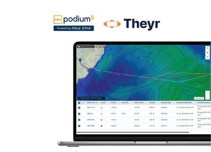
Shipping & Offshore
Gain full visibility & monitoring of your maritime assets, including fleet monitoring, regulatory compliance, performance analytics and voyage optimisation.
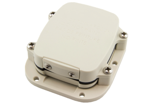
Vessel Tracking Hardware
Enhance your tracking and monitoring abilities with our dedicated satellite tracking devices and reliable ship security alert systems from best-in-industry providers.
Explore Pole Star DefenseGovernment Solutions
Visit Pole Star Defense to learn more about our suite of SOLAS, coastal surveillance and custom maritime monitoring solutions.
-
RESOURCES
News & Events
Read our latest product highlights, company updates, and industry insights
White Paper | The Sanctions Compliance Checklist
Download your free copy
- SUPPORT
- CONTACT US